Ariake Sea oceanographic observation tower
The observation tower was installed near the river mouth of Hayatue River(latitude: 33°6′0.413〃, longitude: 130°16′26.094〃, same location as that of an old observation tower) in order to observe the sea and weather conditions in the interior parts of the Ariake Sea.
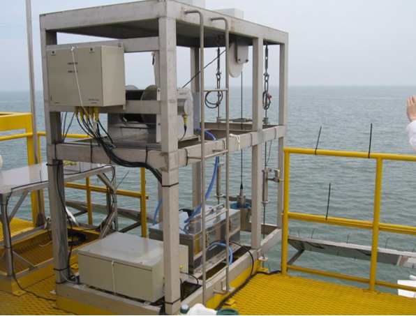
Oceanographic data of tidal level, tidal current velocity, wave height, salinity, sea-water temperature, DO concentration, pH, turbidity and Chl.a, and meteorological ones of wind direction, wind speed, air temperature, rainfall and quantity of sun light are obtained at this tower hourly. Particularly, current velocity and direction, and water quality data such as DO concentration, pH, turbidity and Chl.a and so on, are measured every 50cm depth from the sea- surface to the sea-bottom by an acoustic doppler current profiler and an auto-elevator type water meter system, respectively.
These data are transmitted to Saga University(Building No.4 of Faculty of Agriculture) by a DoPa-type communication system and reserved in a receiver unit(PC) hourly.
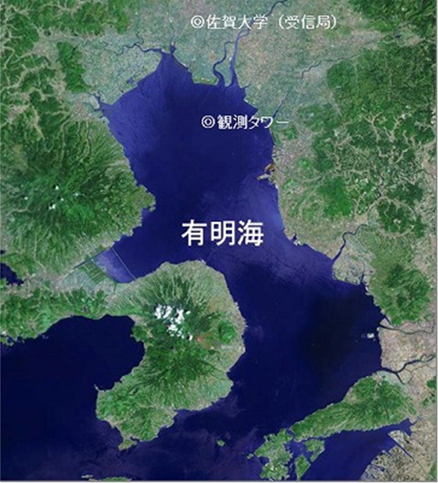
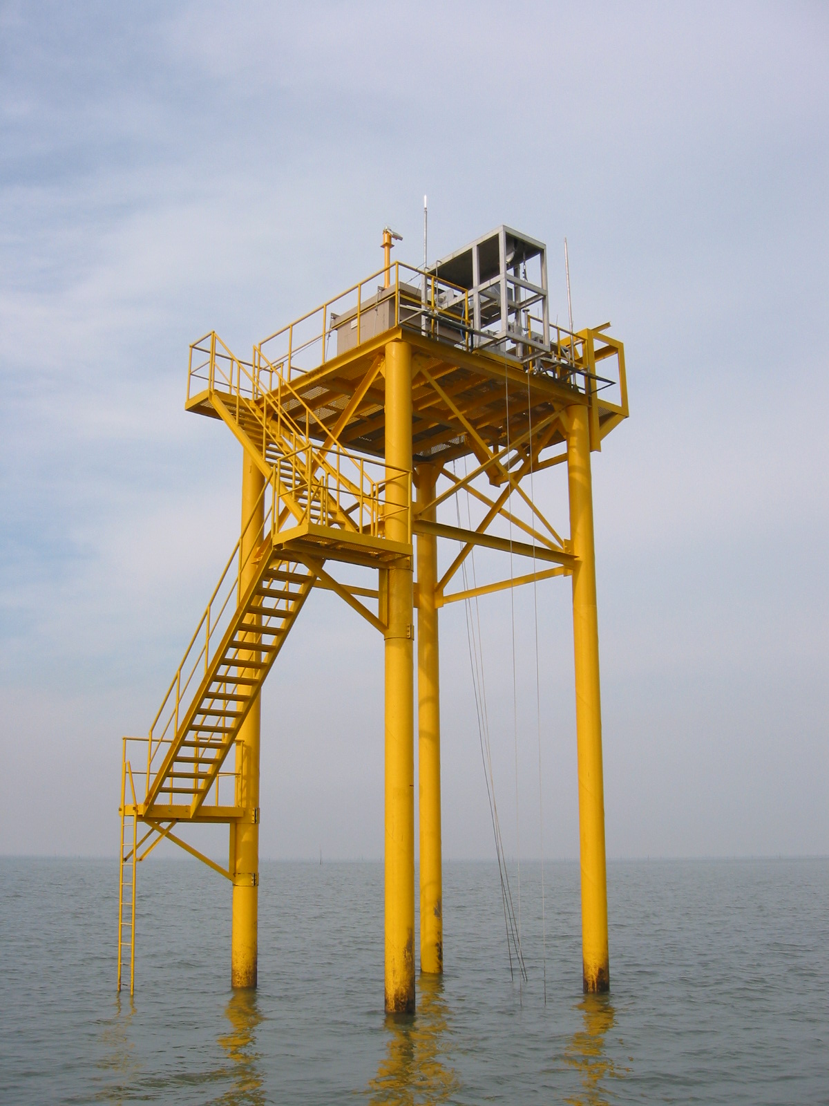
Location and distant view
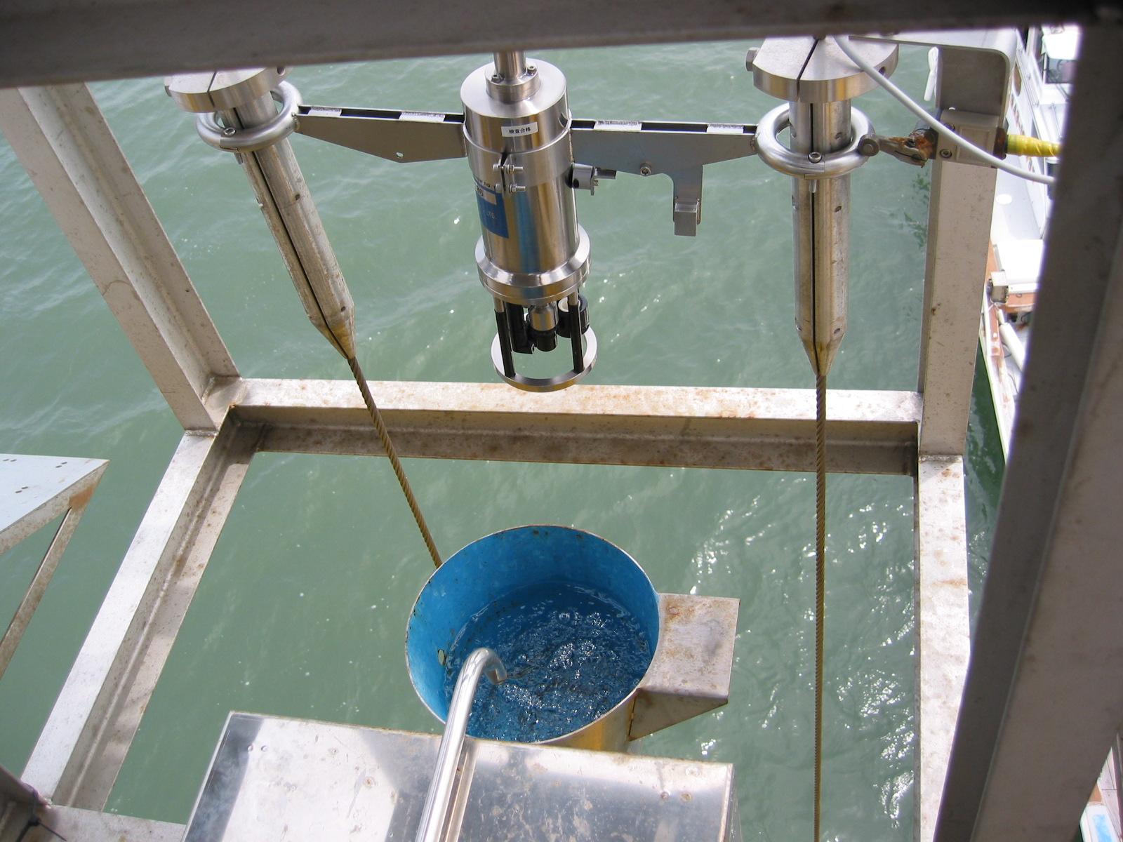
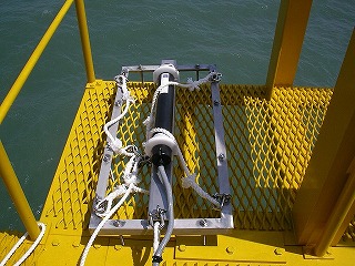
Auto-elevator type water meter system
(left)auto-elevator (right)sensor